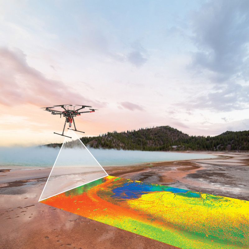
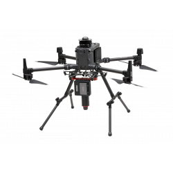
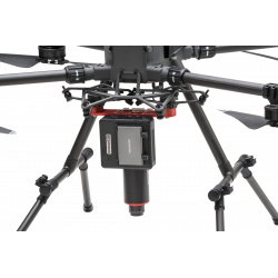
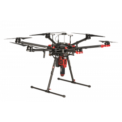
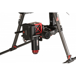
Airborne Hyperspectral Imaging Systems

search

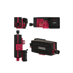
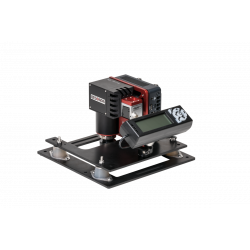
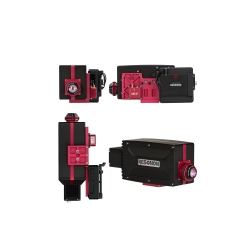
Reference number: RES-KIT-Airborne

The Airborne Remote Sensing System is a comprehensive solution for capturing high-precision hyperspectral images from drones and aircraft for a wide range of applications.

alt

Need more info?
Contact our expert.

Optical Test & Measurement Team
Phone: +49 8153 405-11

Description

Airborne Remote Sensing System: Capture detailed spectral information from the air


Unsurpassed versatility for a wide range of applications

The Airborne Remote Sensing System is a comprehensive solution for capturing highly accurate hyperspectral imagery from drones and aircraft. The system is suitable for a wide range of applications, including:


  • Precision agriculture:

    Assessing crop health, identifying nutrient deficiencies and optimizing irrigation practices.
  • Environmental monitoring:

    Monitoring vegetation changes, monitoring water quality, and detecting pollution sources.
  • Mineral Exploration:

    Identification of mineral deposits and assessment of their composition.
  • Inspection of infrastructures:

    Detection of structural damage and evaluation of the integrity of buildings and bridges.


Key features:

  • Complete hyperspectral solution:

    The system includes all necessary hardware and software components for seamless acquisition of hyperspectral data.
  • Compatibility with drones and aircraft:

    The system can be mounted on a wide range of drones and aircraft.
  • Compact and lightweight design:

    The system is lightweight and compact, making it ideal for aerial use.
  • High-resolution imaging:

    The system provides high-resolution images that provide detailed spectral information.

System components:

  • Hyperspectral camera and lens (sold separately):

    Capture detailed spectral information over a wide range of wavelengths.
  • System Control Unit:

    Manage and control the entire system with ease.
  • GPS/IMU:

    Obtain precise positioning and orientation data for accurate georeferencing.
  • Radiometric Calibration and Calibration Plane:

    Ensure consistent and reliable data with radiometric calibration tools.
  • Hyperspectral Data Analysis Software:

    Analyze and interpret hyperspectral data with our powerful software suite.
  • VNIR Downwelling Irradiance Sensor (optional):

    Improve data quality with optional downwelling irradiance measurements.
  • RTK Base Station and Compatible Radio (optional):

    Further improve positioning accuracy with an optional RTK base station and radio.
  • Dual-Antenna Ellipse D GPS/IMU (optional):

    Maximize orientation accuracy with an optional Dual-Antenna GPS/IMU configuration.